satellite vision unet
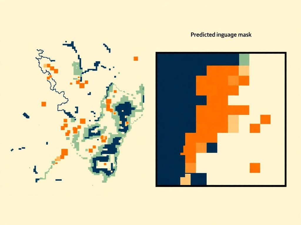
detecting informal urban settlements from satellite imagery helps urban planners deliver essential infrastructure to underserved communities.
- year
- 2025
- role
- research + engineering
- stack
- python, pytorch, unet, resnet34

trained a custom UNet architecture with a ResNet34 encoder, using a combination of focal and Dice loss to overcome severe class imbalance.
applied heavy data augmentations — spectral shifts, seasonal rotations, and flips — to maintain high accuracy across different satellite sensors.
achieved a 99.67% AUC-ROC score on test sets, complete with an open-source inference pipeline for batch satellite tile processing.
links